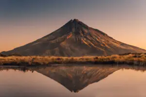
Multiscale space-related datasets and data products are the fundamental components of geological baseline information delivered by national geological survey organisations. These datasets and products show and explain the geological architecture of the surface and subsurface of the Earth’s crust.
Boreholes
EGDI contains data on different sets of boreholes.
Currently a WMS services is available.
Earth Observations and Geohazards
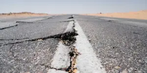
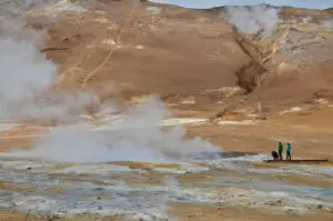
The systematic observation of the Earth’s surface and the monitoring of ground deformation allows the precise mapping and assessment of geohazards. Geohazards can have severe impacts on human lives and properties and may lead to serious socio-economic consequences.
Geochemistry
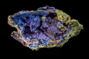
Chemical elements are the Earth’s building blocks.
Geochemistry is the study of the distribution and concentration of Earth’s elements.
GeoEnergy
Energy is vital to the functioning of our society. We need energy to heat our homes, to produce food, for transport, and much more. But energy consumption poses two major challenges. First, our huge dependency on fossil fuels. Second, domestic energy production is decreasing.
GeoERA
Establishing the European Geological Surveys Research Area to deliver a Geological Service for Europe (GeoERA).
Geoheritage
Earth’s geological processes are happening around us all the time. The results are often distinctive geological sites (geosites) that can be unique, visually appealing or have scientific value.
Geophysics
Geophysics studies the Earth's interior using physical properties measured at or above its surface and produces mathematical models to predict those properties.
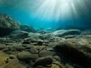
Marine Geology
About two-thirds of the Earth’s surface is covered by water. In line with this, Europe’s seas total about fifteen million square kilometres, fifty percent more than its land area.
Mineral Resources
We live in a mineral-based world. It has been said that “if you can’t grow it, you have to mine it”. Indeed, virtually everything we use on a daily basis is manufactured from the Earth’s mineral resources. Mineral raw materials provide us with our basic needs – energy, infrastructure, transportation, technology and more.
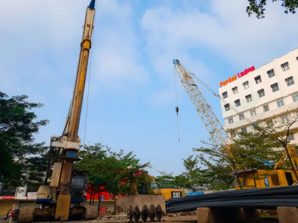
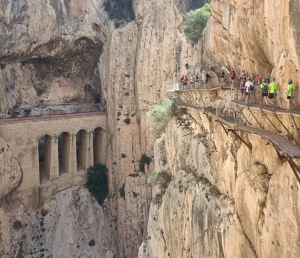
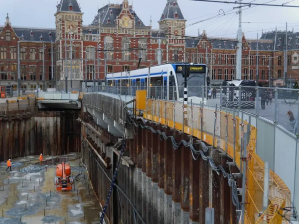
Urban Geology
Geological and geotechnical information about the subsurface of cities are of paramount importance and of high socio-economic value for their development and the maintenance of critical infrastructure.
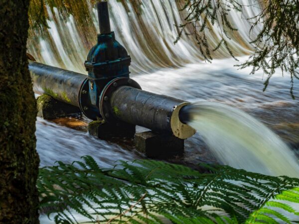
Water Resources
Groundwater, present almost every where beneath our feet, is by far (99%) the largest freshwater resource on earth. As rain falls, it recharge and continuously feeds, rivers, lakes, wetlands and coastal waters.