In EGS, these topics are dealt with by the Urban Geology Expert Group.
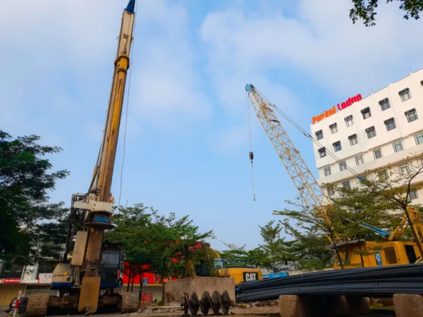
Cities are complex systems that exist at the interface of natural, built and social environments. Geological and geotechnical information about the subsurface is of paramount importance and high socio-economic value for the development of cities and the maintenance of critical infrastructure (e.g., transport tunnels, energy and water supply networks, and foundations). To achieve the vision of resilient cities, subsurface use must be planned, integrated and managed as part of the largely above-ground agendas. Urban geology is a geological science that encompasses all topics related to the urban underground, including hydrogeology, geochemistry, structural geology, engineering geology, geothermal energy, geohazards, and geoheritage.
In EGS, these topics are dealt with by the Urban Geology Expert Group.
Urban geology focuses on the subsurface conditions that influence city development, maintenance of critical infrastructure and risk management. Harmonised geological and geotechnical context helps planners, engineers and researchers communicate constraints consistently and reuse information across organisations and borders.
Use this theme to discover resources that help describe and interpret urban ground conditions, link subsurface context to hazards and support evidence-based planning. EGDI tools enable users to search and validate datasets and to connect urban challenges with broader geological framework layers.