GeoEnergy

EGDI GeoEnergy

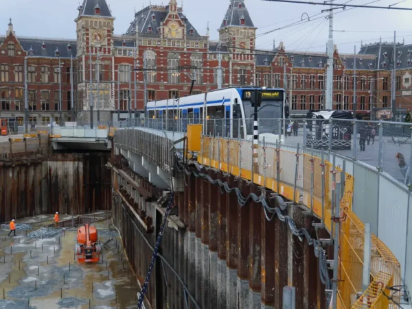
Energy is vital to the functioning of our society. We need energy to heat our homes, produce food, transport, etc. However, energy consumption poses two significant challenges. First, our massive dependency on fossil fuels increases atmospheric CO2 and accelerates climate change. Second, domestic energy production is decreasing, so we have become more dependent on suppliers outside Europe, and in some cases, unreliable or unsustainable supplies. The EU aims to tackle these challenges through the Green Deal by increasing domestic renewable energy, reducing consumption, and decreasing greenhouse gas emissions.

In EGS, this topic is addressed by the GeoEnergy Expert Group.

Many European and regional projects have been carried out over the last few decades to address energy-related issues such as fossil fuel resources, Carbon capture and storage (CCS) capacity, geothermal energy potential, shale gas and shale oil plays, etc. GeoERA substantially increased the knowledge about GeoEnergy.


GeoEnergy and subsurface resources for the energy transition

GeoEnergy focuses on Europe’s subsurface resources and geological knowledge that support the energy transition. EGDI helps users discover harmonised datasets, map layers and metadata contributed by national geological surveys and European projects, enabling cross-border assessment and evidence-based planning.

Key topics in this theme

  • Geological storage and CCS: support for assessing subsurface suitability for Carbon Capture and Storage (CCS) and CO₂ storage, including storage concepts and geological context.
  • Energy storage geology: subsurface and geological conditions relevant to energy storage options.
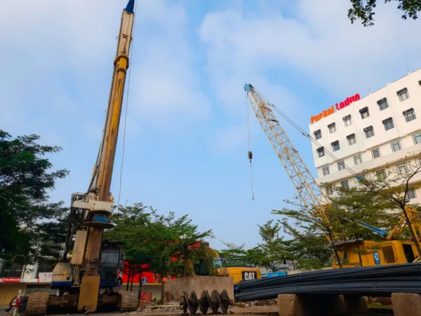
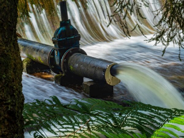
  • Geothermal and subsurface energy: resources and geological framework layers that support evaluation and communication.

What EGDI provides for GeoEnergy

  • Discover datasets with EGDI Data Search and filter results by topic and location.
  • Validate methods and constraints in the Geological Metadata Catalogue (coverage, scale/resolution, usage constraints).
  • Explore layers in the Geological Map Viewer of Europe to understand geological context (units, lithology, framework layers).

Typical use cases

  • Screening and pre-assessment: identify where relevant geological information exists for CCS/CO₂ storage and subsurface energy planning.
  • Cross-border reporting: compare harmonised information consistently across regions.
  • Research & communication: support modelling workflows and clear stakeholder communication through map layers and metadata.

Recommended workflow (3 steps)

  1. Start with the Geological Map Viewer of Europe to understand the regional geological context.
  2. Use EGDI Data Search to find datasets related to geological storage, CCS/CO₂ storage and energy storage.
  3. Confirm fitness for purpose in the Geological Metadata Catalogue before reuse.

Related EGDI resources


Related projects

Roll-out of Deep Geothermal Energy in North-West Europe
DGE-ROLLOUT
Roll-out of Deep Geothermal Energy in North-West Europe
DGE-ROLLOUT facilitates the use of deep geothermal energy as climate-friendly energy resource to reduce CO2 emissions and to protect the environment i...
3D geomodelling for Europe
3DGEO-EU
3D geomodelling for Europe
This project demonstrates cross-border harmonization methods, focusing on uncertainty, fault data modeling, and consistency in 3D models, crucial for ...
Cross-border, cross-thematic multiscale framework for combining geological models and data for resource appraisal and policy support
GeoConnect³d
Cross-border, cross-thematic multiscale framework for combining geological models and data for resou...
The GeoConnect³d project developed and tested a new methodological approach to prepare and disclose geological information in a more useful and unders...
Hazard and Impact Knowledge for Europe
HIKE
Hazard and Impact Knowledge for Europe
The HIKE project aimed at stimulating the development of common information repositories and a knowledge sharing infrastructure in order to support in...
Geological Analysis and Resource Assessment of selected Hydrocarbon systems
GARAH
Geological Analysis and Resource Assessment of selected Hydrocarbon systems
The GARAH project main result was a harmonized, scientific based, geological analysis and assessment of the conventional and unconventional hydrocarbo...
Mapping and Assessment of Geothermal Plays in Deep Carbonate Rocks – Cross-domain Implications and Impacts
HotLime
Mapping and Assessment of Geothermal Plays in Deep Carbonate Rocks – Cross-domain Implications and I...
Explore the HotLime project, which maps and assesses geothermal plays in deep carbonate rocks across Europe to de-risk exploration and enhance low-ent...
Managing Urban Shallow geothermal Energy
MUSE
Managing Urban Shallow geothermal Energy
MUSE investigated resources and possible conflicts of use associated with the use of shallow geothermal energy (SGE) in European urban areas

Other Scientific Themes

Mountain and its reflection in a lake at its feet.

Basic Geology

Multiscale space-related datasets and data products are the fundamental components of geological baseline information delivered by national geological survey organisations. These datasets and products show and explain the geological architecture of the surface and subsurface of the Earth’s crust.
Heavy machinery carrying out a survey.

Boreholes

EGDI contains data on different sets of boreholes. Currently a WMS services is available.
Road asphalt torn by ground movements.

Earth Observations and Geohazards

The systematic observation of the Earth’s surface and the monitoring of ground deformation allows the precise mapping and assessment of geohazards. Geohazards can have severe impacts on human lives and properties and may lead to serious socio-economic consequences.
Image of a person's hand harvesting spinach in a garden.

Geochemistry

Chemical elements are the Earth’s building blocks. Geochemistry is the study of the distribution and concentration of Earth’s elements.
Computer-generated background of reddish colors that simulates sea waves.

GeoERA

Establishing the European Geological Surveys Research Area to deliver a Geological Service for Europe (GeoERA).
People strolling on a footbridge on a steep cliff. A route known as "El Caminito del Rey" in Málaga.

Geoheritage

Earth’s geological processes are happening around us all the time. The results are often distinctive geological sites (geosites) that can be unique, visually appealing or have scientific value.
Spectacular landscape view from helicopter cabin.

Geophysics

Geophysics studies the Earth's interior using physical properties measured at or above its surface and produces mathematical models to predict those properties.
Rocky seabed illuminated by sunlight.

Marine Geology

About two-thirds of the Earth’s surface is covered by water. In line with this, Europe’s seas total about fifteen million square kilometres, fifty percent more than its land area.
Spectacular fragment of multicolored mineral with lumpy shapes inside.

Mineral Resources

We live in a mineral-based world. It has been said that “if you can’t grow it, you have to mine it”. Indeed, virtually everything we use on a daily basis is manufactured from the Earth’s mineral resources. Mineral raw materials provide us with our basic needs – energy, infrastructure, transportation, technology and more.
Risky deep foundation work near a historic building in a city.

Urban Geology

Geological and geotechnical information about the subsurface of cities are of paramount importance and of high socio-economic value for their development and the maintenance of critical infrastructure.
Water pipe

Water Resources

Groundwater, present almost every where beneath our feet, is by far (99%) the largest freshwater resource on earth. As rain falls, it recharge and continuously feeds, rivers, lakes, wetlands and coastal waters.