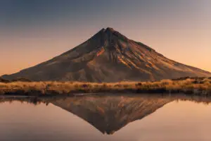
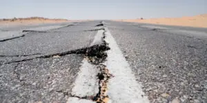
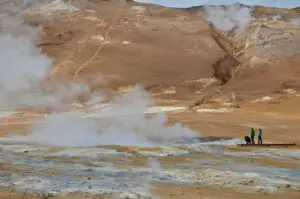
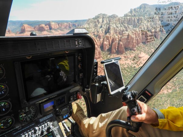
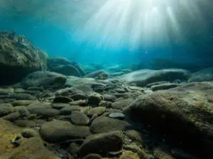
Earth’s geological processes are happening around us all the time. Rivers cut their way down into their valleys, shed their sediment where they empty into the sea, forming deltas, and mountains rise imperceptibly as continental plates grind against each other. These processes shape the ground we stand on and the landscapes we see around us. The results are often distinctive geological sites (geosites) that can be unique, visually appealing, or scientifically valuable. They are centres for geotourism, geological education and scientific research. Over the past decade, increased public awareness of geosites has demonstrated their importance to society and revealed geoconservation knowledge gaps that must be filled. We need to document the geosites we have, their vulnerabilities and how we can sustainably manage them.
In EGS, this topic is addressed by the Geoheritage Expert Group.
Geoheritage and geosites across Europe
Earth’s geological processes shape the landscapes we see around us and create distinctive geological sites (geosites) that can be unique, visually appealing or scientifically valuable. Geoheritage supports geoscience education, research, outreach and sustainable management of geodiversity.
What EGDI supports in Geoheritage
Use this theme to discover resources that help document and communicate geoheritage, including supporting documents and structured metadata that make information easier to find, interpret and reuse across organisations.
Typical use cases
- Education and outreach: find authoritative background material for teaching and public communication.
- Documentation and inventory workflows: use consistent descriptions and metadata to support comparability.
- Sustainable management: connect geoheritage context to basic geology and geohazards when relevant.
Recommended workflow (3 steps)
- Use the Document Repository to find reports and educational resources by metadata and full-text search.
- Review structured descriptions in the Geological Metadata Catalogue where relevant.
- Explore context layers in the Geological Map Viewer of Europe and connect to related themes for broader interpretation.
Related EGDI resources
- Document Repository - search geoheritage reports and educational material by metadata and full text
- Geological Metadata Catalogue - review structured descriptions, coverage and constraints
- Geological Map Viewer of Europe - explore geological context and reference layers
- EGDI Data Search - discover related datasets and resources by topic
- Basic Geology theme - use the harmonised geological framework for interpretation
- Earth Observations and Geohazards theme - connect geoheritage to hazards and landscape processes